* Note : This app uses built-in magnetometer, so iPod Touch does not provides direction of structure/device.
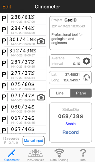
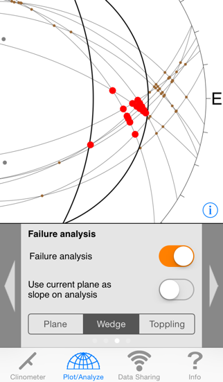
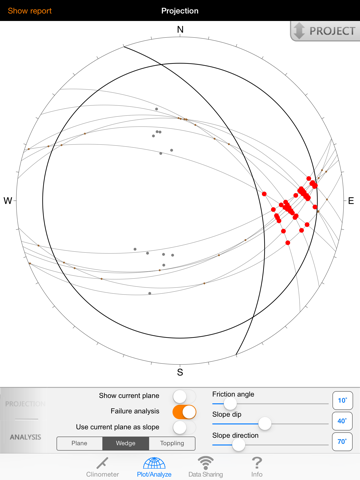
GeoID is a professional tool for measuring and analyzing geological structures. This application includes geological compass, stereographic projection, instability analysis and wireless data sharing.
• Features
- The clinometer works with all attitude of the device and enables user to measure any structure
- A stability indicator in the clinometer maximizes its accuracy
- Provides many options including notation type, measurement interval, avarage calculation, projection type, etc.
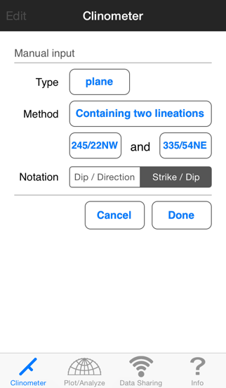
- Can input data manually using several input methods
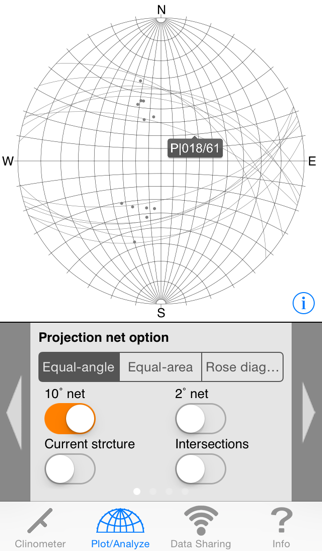
- Immediate projection and analysis of selected project
- Provides stereonet-based slope stability analysis
- Supports zooming while plotting/analyzing
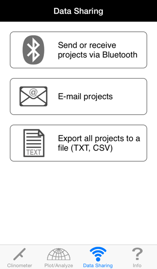
- Wireless data transferring via Bluetooth and E-mail
- Generates analysis reports with stereonet images and sends them by e-mail
- Supports all iOS devices
Developed by Engineering Geology & GIS Lab.,
Dept. of Energy Systems Engineering,
Seoul National University, South Korea.
Prof. Hyeong Dong Park wishes to express thanks to Prof. Edward Keller and other faculty members of the Earth Sciences Department of University of California Santa Barbara for the useful suggestions and discussions on the improvement of GeoID during Prof. Park's academic visit from 2011-2013.
스크린샷
스토어 갤러리 · 10
🇧🇼
#4
Botswana · paid
Overall (all apps)
🇿🇼
#10
Zimbabwe · paid
Overall (all apps)
스토어 등록 현황
2026. 7. 17. 기준오래됨(62일)
평점0.00
평가 수0
가격$6.99
버전1.80
업데이트2014. 10. 29.
출시일2012. 6. 15.
순위 그리드
국가 × 장르별 현재 순위를 색상 구간으로 표시
1–3 4–10 11–50 51–100 100+
🇧🇼BW
🇿🇼ZW
Overall (all apps)
4▼1
10▼1
순위 추이
비교할 차트, 장르, 시장 선택
버전 기록
수집된 버전을 최신순으로 표시
v1.802014. 10. 29.
This update from Apple will improve the functionality of this app. No new features are included.
iOS 8 compatibility and bug fix.